©
OpenStreetMap
contributors, ©
CARTO
, ©
OpenStreetMap
contributors
x
年
-1959
1960-1969
1970-1979
1980-1984
1985-1989
1990-1994
1995-1999
2000-
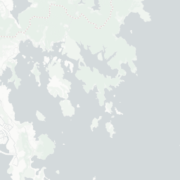
香港私人大廈建築年份
資料來源:
民政事務總署「香港私人大廈電腦資料庫」
x
Share this map
Social
Share on Facebook
Share on Twitter
Link to this map
Embed this map
<iframe width='100%' height='520' frameborder='0' src='https://initiumdata.carto.com/viz/d9baa3dc-5251-11e6-9922-0e8c56e2ffdb/embed_map' allowfullscreen webkitallowfullscreen mozallowfullscreen oallowfullscreen msallowfullscreen></iframe>
+
-
CARTO
This visualization only works in modern browsers. Upgrade yours and enjoy.
Safari
Chrome
Firefox
Map created by
initiumdata